|  Inhabitants in 1991: 12.345
 The
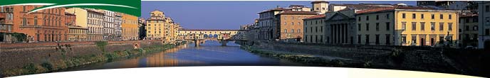
municipal territory extends for 16,92 square kilometres in Valdarno
di Sotto, along the right hand bank of the Arno, it also takes in
a portion detached from it (Staffoli nelle Cerbaie). It suffered a territorial
reduction in 1910 with the separation of the district of Orentano aggregated
to Castelfranco di Sotto. The
municipal territory extends for 16,92 square kilometres in Valdarno
di Sotto, along the right hand bank of the Arno, it also takes in
a portion detached from it (Staffoli nelle Cerbaie). It suffered a territorial
reduction in 1910 with the separation of the district of Orentano aggregated
to Castelfranco di Sotto.
There was no certain news of Santa Croce before the XIII century, even
if in a document of 1289 it was already an important settlement with
walls, then for the most part destroyed in the flood of 1333. From
a document of 1284 relative to the sale of certain pastures and woods,
it shows how until that date it was perhaps constituted in autonomous
community and placed under the political jurisdiction of Firenze,
to whom it returned and subjected itself after the temporary possession
by Guido Novello, Toscano Vicar of King Manfredi (1261-1267). From 1270
there were long disputes with Fucecchio and Castelfranco di Sotto
for the utilization of the Cerbaie woods, which were assigned many
years later to the Podesta of Lucca called as arbiter to the question.
In 1315 Santa Croce was conquered by Ugucccione della Faggiola,
Lord of Pisa and later Lord of Lucca, while in 1323 it was occupied by
the Lucca army who maintained it until 1327. At that time it returned
as part of the territory of the Fiorentina republic to whom it spontaneously
subjected itself. From then on it remained under Firenze until the
Unity of Italy. During the second world war when the front
line was along the banks of the Arno, it suffered grave damage from the
shelling and from mines. On March 4 1944 the citizens came out on strike
against the Nazifascist occupation.
Places to Visit:
S.Cristiana, 1700 church with a frescoed frontage. The interior
holds a precious altarpiece. |
Historical info reproduced upon authorization of Regione Toscana - Dipartimento della Presidenza E Affari Legislativi e Giuridici
Translated by Ann Mountford |